
TOLEDO, Ohio —
As the snow settles in northwest Ohio, the obvious question is: how much did we get?
According to the WTOL 11 Weather Team, the official total from the Toledo Express Airport came in at 12.7 inches, putting it at sixth on the list of the region's top snowstorms on record.
But, what about that record? What did some of those bigger winter storms look like?
Let's take a look back at some of the top snowstorms in Toledo history.
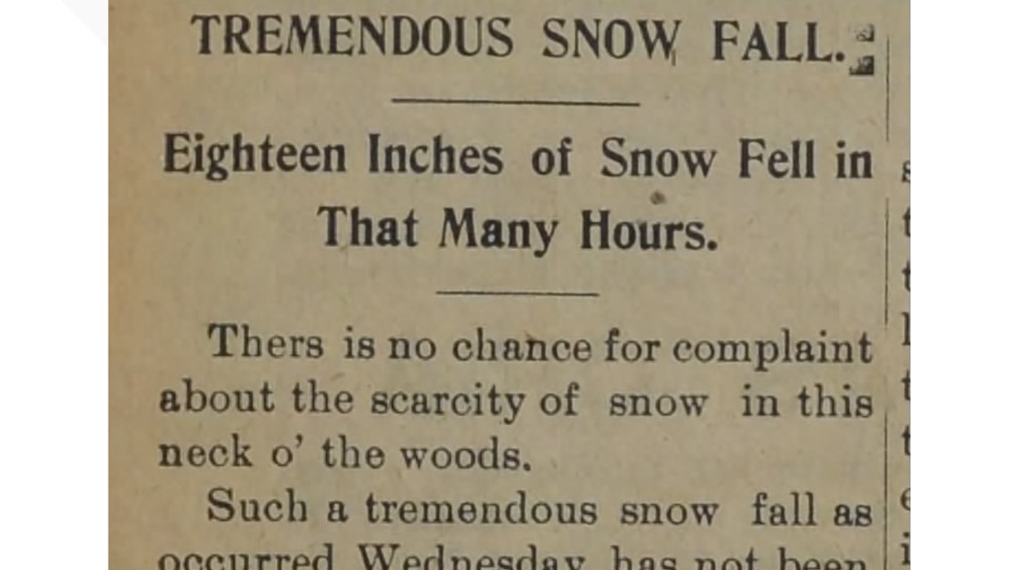
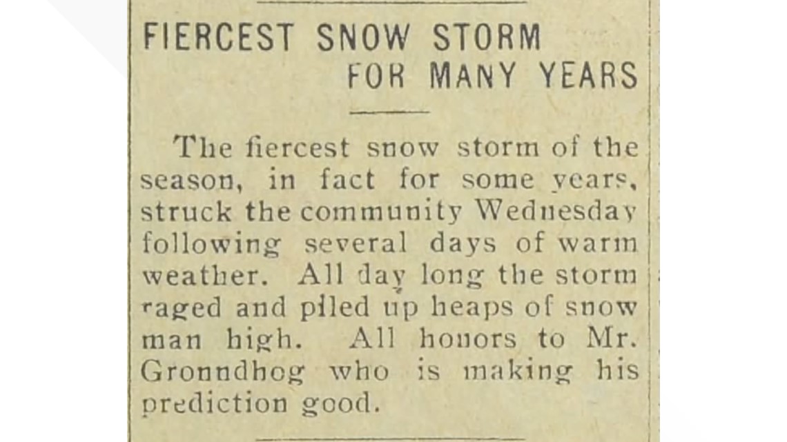
FEB. 28, 1900
Our biggest snowfall on record came in 1900 from a storm that gripped our area from Feb. 28 – March 1.
We got a whopping 20.2 inches by the end of that storm. It was unlike anything seen there before.
An article in the Elmore Tribune said even the old settlers were taken aback. The biggest inconvenience at the time seemed to be a massive delay in trains, with some falling as much as six hours behind. In fact, after one train spent hours trying to leave Toledo, crews had to attach four engines to it and detach all but three of its coaches just to get it going.

The second-largest snow total came from the same storm system, clocking in at 18 inches before it came to an end.
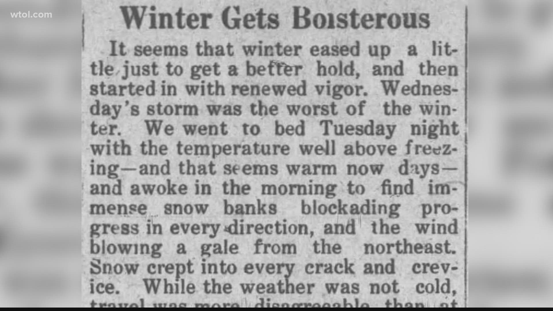
FEB. 21, 1912
From Feb. 21 – 22 of 1912, our area got hit with 15 inches of accumulation; and the Ottawa County Exponent detailed some pretty awful conditions.
Residents went to bed the night before with temperatures well above freezing, but woke up to massive snowbanks blocking roadways.
High banks of snow across the road had to be cut down with shovels to allow a funeral procession to pass. At another funeral, the horses fell and had to be dug out of the snow.
According to news reports at the time, any attempts at keeping the walkways passable were essentially useless. So, instead of plowing the walkways, the street commissioner plowed a thin track down the middle of the street to allow people to go to and from town.

FEB. 15, 2021
The fourth-largest snowstorm from Toledo's past came less than one year ago, on Feb. 15, 2021.
This system brought 14.5 inches of snow to the Toledo metro.
That night, we saw near-blizzard conditions with visibility below a quarter of a mile near McLaren St. Luke's Hospital.
By morning, the wind had piled snowdrifts up to 4 ft. in rural areas.
When the storm began to calm, at around 3 p.m. on Feb. 16, AAA’s Roadside Rescue Team had received more than 245 calls for help from stranded northwest Ohio drivers.
Last year’s storm actually produced far more snow than the infamous Blizzard of ‘78, but the winds were nowhere near what was experienced then, which is what solidified that storm's spot in history.
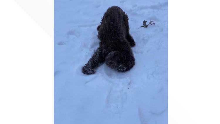
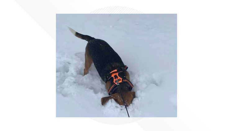
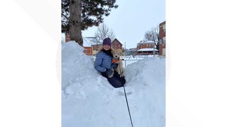
How WTOL viewers - and their pets - are enjoying the Feb. 15 snowfall


FEB. 2, 2022
Our snowstorm that began on Feb. 2, 2022, nearly beat the record just before it.
The fifth spot in the record books contains two dates: Jan. 5, 2014 and Feb. 20, 1912. Those storms produced 13 inches of snow. The storm we saw this week, brought 12.7 inches of accumulation, putting it at number six on the Top 10 list.
Northwest Ohio is still feeling the impact of this week's storm. Travel conditions are a bit dicey in some areas as road crews continue to clear the streets.
While this storm had a lackluster start, as many areas first saw hours of rainfall, it has solidified its spot in our history — at least until another, bigger storm crosses our path.
MORE FROM WTOL