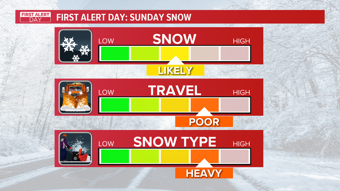
TOLEDO, Ohio — We snap our January dry streak this weekend, with a heavy snow anticipated to move into the area Saturday evening. A First Alert Day is in effect for Sunday for the risk of a wintry mix and accumulating snow that may cause hazardous travel in the morning.
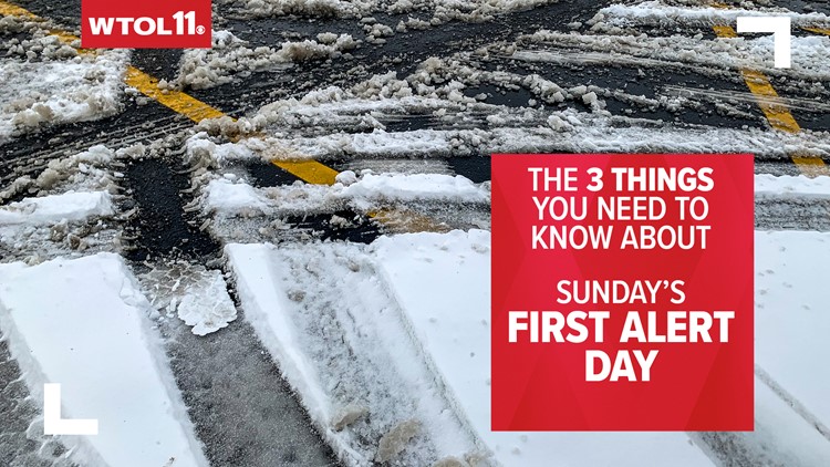
Here are three things you need to know:
1. This weekend storm will bring heavy, wet, packing snow
As snow rolls in Saturday night, temperatures will drop below freezing, leveling off in the mid-20s. With Gulf moisture surging in from the south and temperatures hovering barely below freezing, this storm will deliver heavy, wet, packing snow.
Snow ratios (how much water snow melts down into) will remain fairly low, meaning that this snow will be dense. Wet snow can pose a health risk to elderly individuals and those with heart conditions.
Be careful while shoveling, and make sure to check in on your older neighbors. Snow will become a bit lighter and fluffier on Sunday, but additional accumulations are expected.


2. The entire area will see snow accumulation, but the heaviest will fall southwest of Toledo
The entire area will see snow accumulation, but the heaviest will fall southwest of Toledo.
As a low-pressure storm system moves into the Ohio Valley, steady snow will impact many states in the region. The steadiest snow will likely fall southwest of Toledo in a swath from Chicago to South Bend to Fort Wayne to Lima. This area could see 4-8” of snow with isolated amounts near a foot!
Toledo will see lower snowfall totals, but we’re still forecasting around 3-5” for Lucas County. 2-4” of that will fall tonight, with the remainder coming down on Sunday. Heavier amounts will fall closer to the center of low-pressure to the southwest. This means that Defiance, Napoleon, Findlay, and Ottawa could 5-7” of snowfall by Sunday evening!


3. Sunday morning will bring hazardous travel conditions
Because steady snow will accumulate Saturday night, road conditions could become hazardous by Sunday morning.
Whether you’re heading to the store to get groceries or driving to Sunday worship service, drive cautiously and leave well in advance. Rescheduling plans will be your safest option, as several inches of snow on the ground with temperatures below freezing will result in slick road conditions.
Light snow will continue to fall for much of the day Sunday, and an additional 1-3” of accumulation is possible between Sunday morning and Sunday evening. Snow will become lighter and more scattered by Sunday evening. Lingering travel impacts are possible on Monday.