
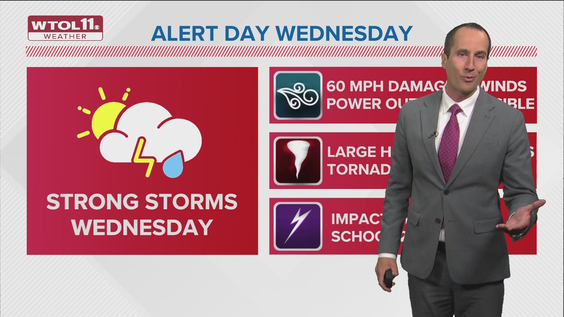
OHIO, USA — An ALERT DAY has been issued for Wednesday afternoon as strong to severe storms are expected.
Here's three things you need to know:

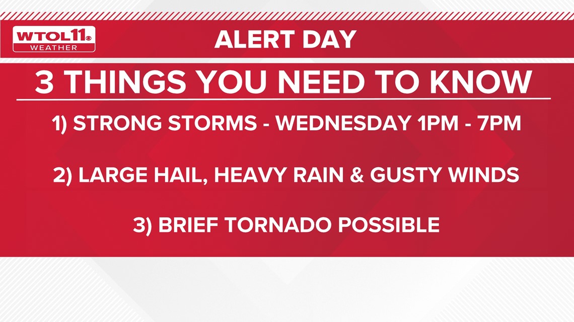
1. Timing
Two rounds of showers will move through on Wednesday. The first will be early morning before daybreak, which will just be light to moderate rain. Nothing is expected to be strong or severe.
The second round of showers and storms are expected to arrive in the afternoon and evening. Timing is expected between 1 p.m. and 7 p.m.


2. Biggest threats
The biggest threats with these storms will be the heavy rain, strong winds and large hail. Wind gusts up to 60 mph and hail 1" in diameter is possible.
Expect some power outages across the area. After-school practices and events will most likely be impacted by the severe threat Wednesday.


3. Tornado potential
There is a chance for a brief spin-up tornado. If anyone in Ohio sees tornadoes on Wednesday, this will cause Ohio to have seen at least 30 tornadoes in 2024, which is more than the state average for tornadoes for the entire year.
Once the lines of storms move through, we will dry out and be done with rain for the rest of the week.
For more weather updates, follow the WTOL 11 Weather Team.


Want more from WTOL 11?
➡️ Download the WTOL 11 news app for Apple here or get it in the Google store here.
➡️ Get a fresh start to your morning and wrap up your day with the latest news and your WTOL 11 Weather forecast delivered right to your inbox!
WTOL 11's Your Morning Blast and Your Evening Blast deliver stories from northwest Ohio, southeast Michigan and beyond to keep you informed.
Click here to get on the list!