


TOLEDO, OH (Toledo News Now) - If you were born in 1979 or after and grew up in northwest Ohio or southeast Michigan, this has been the coldest start to a year in your life. Not just the coldest, though; this year has also been the snowiest.
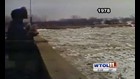
The last time northwest Ohio saw nearly as much snow as has fallen this year was 1978, a year that will forever be remembered for its historic blizzard. What faded from many memories was the major flooding that followed along the Maumee River.
The 20 foot high flooding flirted with major flood stage and is the second highest river crest ever at Grand Rapids. The flood is classified as a one in 500 year type of flood.
The StormTrack weather team has grown increasingly concerned about the threat of flooding. The snowpack is 10 to 15 inches deep and holds as much as 4 inches of rain water. That's over 10 million gallons of water waiting to be released, just in Lucas County.
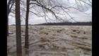
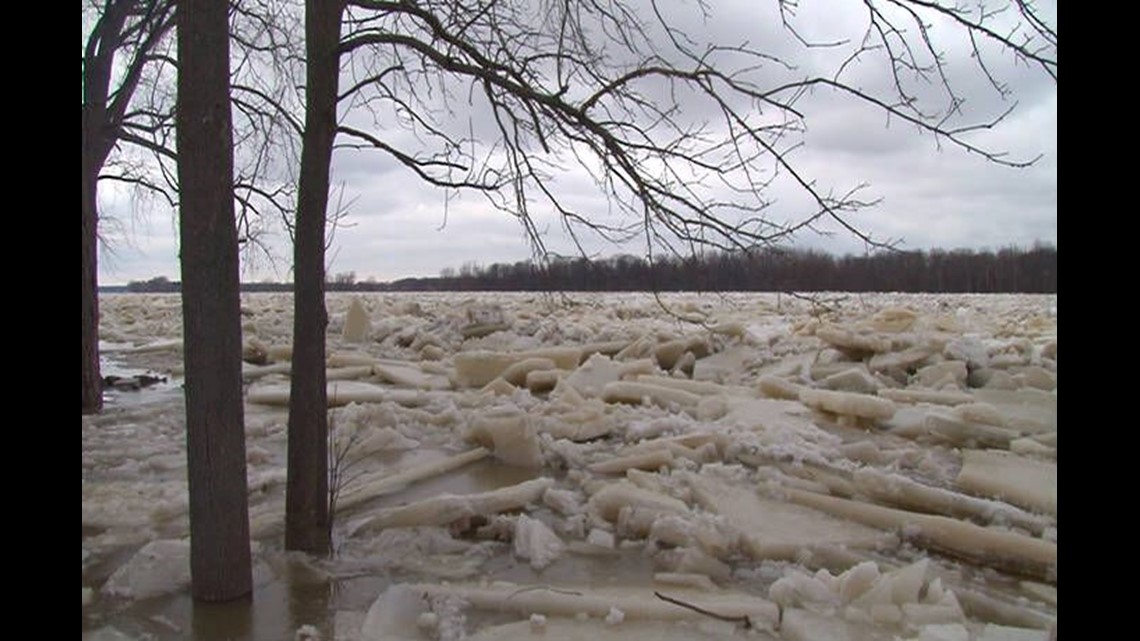
The snowpack is not the only threat. A sudden warm up would likely lead to major ice jams. Those jams act as a natural dam, holding back water and building pressure for an even large release of water and flooding downstream.
While we have combed through the past 140 and forty years of weather records in Toledo, you really don't have to go back far since the last time the area faced major wintertime flooding In 2008 and 2009 heavy rainfall lead to significant flooding. The Maumee and Blanchard Rivers each recorded top 10 crests both years, but neither of those years had the snowpack on the ground we do right now.
There is still well over a month until the official end of winter. With ice likely remaining on the local rivers for several more weeks, any rounds of heavy rainfall will likely result in flooding.
The question for 2014 is not if it will flood, but rather when it will flood.
The Maumee River is 137 miles long running from Fort Wayne Indiana through Toledo into Lake Erie. The area of land which drains into the river is the largest in all of the great lakes - 6,500 square miles.
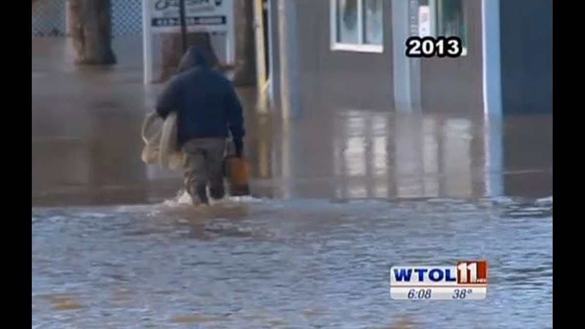
Widespread flooding is likely in Defiance, Napoleon, Grand Rapids, Waterville and Maumee this year.
In Grand Rapids ice on the Maumee has been measured at 16" thick. In 1959 ice was measured at 18" thick. Ice jam flooding that year caused 4 to 7 feet of water to flow through the streets, second only to the flood of 1913.
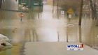
The surest bet for this type of flooding is Waterville. Eight times ice jam flooding has caused property damage there.
The next big rainfall is expected Thursday, along with high temperatures near 50 degrees.