
TOLEDO, Ohio — With the total solar eclipse in the rearview mirror, the Climate Friday Newsletter will delve into climate and weather-related topics that impact you now and may shape the future in northwest Ohio and southeast Michigan.
The weather pattern lately has featured frequent April showers and the forecast calls for many mild days. This week, Meteorologist John Burchfield will break down this wet and warm weather pattern and explains the link to climate change.


With 2.1" of rain and counting, this April has dosed out over double the monthly average amount. Additional rain showers on Friday will add to this tally, putting us even further above-average. Monthly rainfall is over double what is normal through April 12. Spring rainfall since March 1 has been even more abundant, adding up to 5.77".
The month of March brought 3.67" of rain for the Toledo-area, over an inch above average. This wet weather will continue into the coming week with several rain chances in the 10-day forecast. While day-to-day storm systems and precipitation are due more to weather than climate, the overall trend suggests heavy rainfall is growing more common and intense.


Precipitation rates have increased substantially in the last half century, with average hourly rainfall, measured in hundredths of an inch, climbing from 5.0 to nearly 6.5 across the country. This trend indicates an uptick in heavy rain associated with climate change. Warmer air and water temperatures fuel increased evaporation and precipitation, usually in the form of heavy rain.


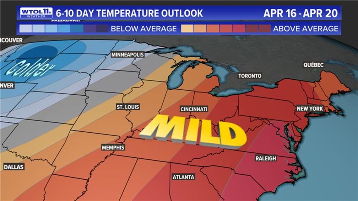
In addition to wet, this April has been warm and has featured several 70-degree days thus far. Temperatures could surge to 80 degrees for the first time next week. Normally, the first 80-degree day of the season in the Toledo-area arrives on April 27. An 80-degree temperature reading next week would be nearly two weeks ahead of schedule.
Though temperatures will skyrocket in the 10-day forecast, record highs are very unlikely. Even a temperature of 80 degrees on Wednesday would still fall far below the record of 86 degrees set on April 17, 2002.

Other records this week all range from 86 to 88 degrees, including Monday's high temperature record of 88 degrees set on April 15, 2023. Toledo has seen its fair share of warm weather in April, but temperatures have never touched 90 degrees.
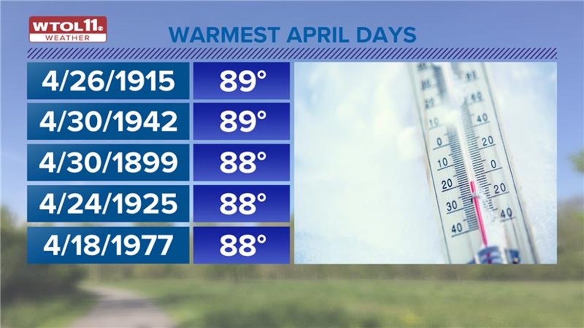
The warmest April days on record are April 26, 1915 and April 30, 1942, where both dates saw temperatures rise to 89 degrees.

Even though next week's warmth won't be record-setting, it will still contribute to a well above-average April pattern that will add to the wet and warm start to the month.
April has featured frequent showers and mild weather as it trends into a warm and wet direction for the tail end of the month. Whatever weather this spring season has in store, you can trust the WTOL 11 weather team with the latest forecast. Subscribe to the Climate Friday Newsletter for new content every week.
More Climate Friday: