TOLEDO, Ohio — Hurricane Ian intensified into a strong, category 4 storm early Wednesday as it neared landfall on Florida's west coast.
The hurricane's center struck near Cayo Costa, a protected barrier island just west of heavily populated Fort Myers, around 3:05 p.m. Wednesday.
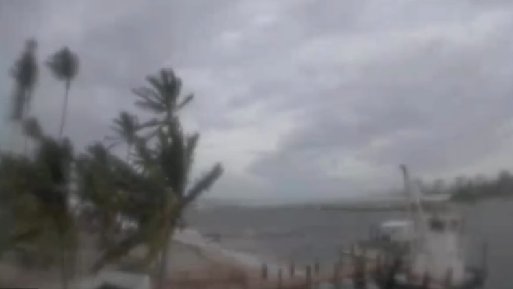
The major hurricane has prompted warnings from Bonita Beach to the Tampa Bay region.
With the 5 p.m. Wednesday update, the storm had maximum sustained winds of 130 miles per hour (category 4) as it moved to the north-northeast at around 8 miles per hour. It's centered about 120 miles south-southwest of Orlando.
Early Wednesday morning the storm showed signs of strengthening over the southeastern Gulf of Mexico. It had maximum sustained winds of 140 miles per hour as it moved to the north-northeast at around 10 miles per hour.
The center of Ian is expected to move over central Florida on Wednesday night and Thursday morning and emerge over the western Atlantic by late Thursday.
It could make a second landfall later this week near the Georgia-South Carolina border as a tropical storm.
Regardless of the exact track and point of landfall, storm surge is going to be the most widespread impact of Ian, especially through Southwest Florida. Water levels could climb 8 to 12 feet above ground level from Sarasota, south through Bonita Springs.