


(Toledo News Now) - Thousands of people are still without power after a massive storm packing strong winds, heavy rain and hail, ripped through northwest Ohio Wednesday afternoon.
Tornado warnings were issued for Lucas, Wood, Huron, Erie, Sandusky and Ottawa counties throughout the day. However, no tornado touchdowns have been reported.
American Electric Power (AEP) said power could be out for some of their customers until Friday or Saturday. Their crews are inspecting damage and will begin making necessary repairs as quickly as possible. Click here for current power outage numbers from AEP.
First Energy said they hope to have power restored to their customers by midnight Friday. Click here for current power outage numbers from First Energy.
Seneca County seems to have been hit the hardest. Sheriff William E. Eckelberry issued a level 3 road warning Wednesday, meaning all roadways were closed to non-emergency personnel. The warning was later reduced to a level 2, allowing drivers to go out if necessary. On Thursday morning shortly before 6:30, the alert was cancelled.
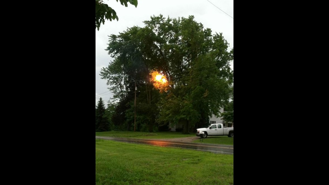
In Williams County, many Norfolk-Southern rail cars were derailed by straight line winds, which our StormTrack weather team says could have topped 70 mph.
Three utility trailers at the Napoleon emergency operations center were blown across a parking lot. Trees were reported down all over the city and at least one vehicle was heavily damaged by a fallen tree.
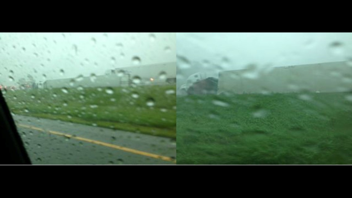
Straight line winds toppled five semi trucks on Interstate 75 in Wood County.
In Findlay, the Blanchard River was 12 feet above flood stage and rising at 5:30 p.m. Wednesday. About an inch and a half of rain fell in the city Wednesday afternoon alone. The river is expected to crest at 12.3 feet above flood stage Thursday afternoon, and recede back to normal levels some time Friday.
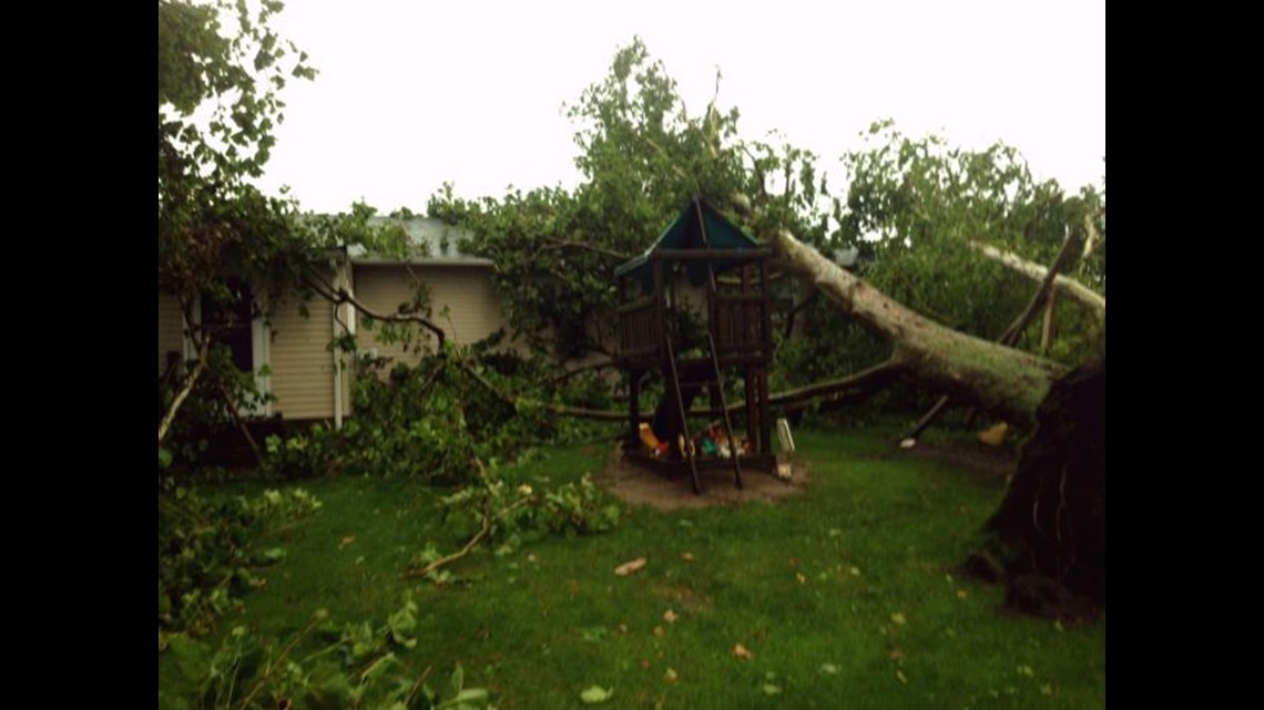
People in Sandusky County are still picking up after the storms. Trees have been uprooted, power lines have been knocked down, and crops have been flattened. There has also been reports of damage to buildings in the area.
As of noon Thursday, the Ohio Department of Transportation has the following updates on traffic closures:
-US-20 in Bellevue is open.
-US-20 between SR 590 and US-6 (west side of Fremont) is open.
-US-224 between SR 100 and SR 67 is closed for high water. Detour: SR 100; SR 67.
-SR 587 between SR 18 and US-224 is closed due to downed wires.
-SR 18 between Tiffin and SR 67 is closed due to a tree down.